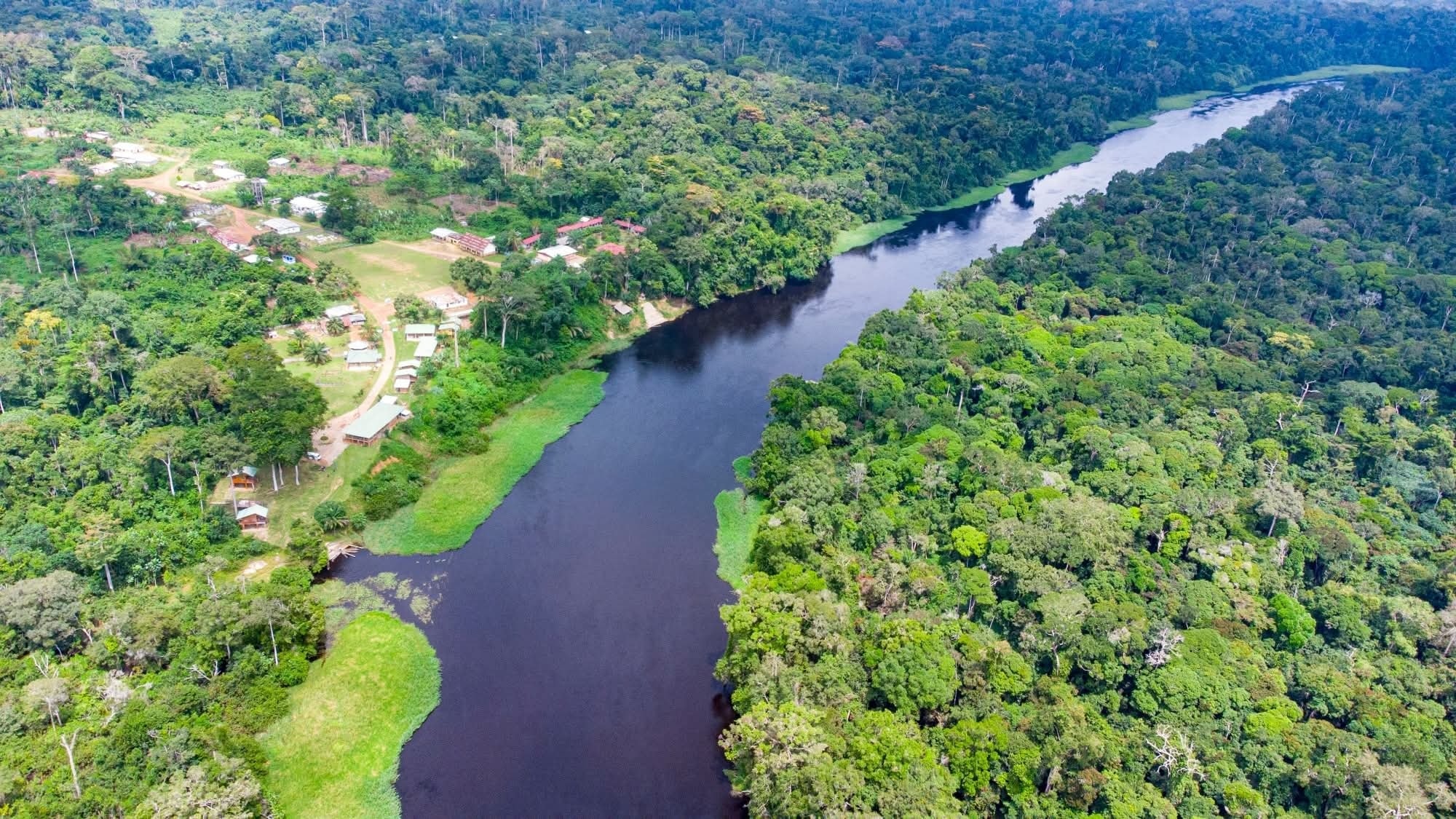
From its source in the district of Mindourou, Haut-Nyong department, to its mouth at Petit Batanga on the Atlantic coast, the Nyong River flows for nearly 690 km, crossing and connecting four strategic regions of Cameroon. On the ground, it appears less as a simple watercourse than as a genuine territorial framework.
In the East, around Mindourou, Abong-Mbang, Atok, Angossas, Mboma and Nguélémendouka, it structures the location of villages, subsistence agriculture and artisanal fishing circuits. In the centre, particularly around Ayos, Mbalmayo Akonolinga and Ngomedzap, it shapes fertile wetlands that support lowland crops and water supply. Further south, towards Bipindi and Lolodorf, it serves as a spatial landmark and link between forest communities. Finally, its opening onto the ocean makes it a natural interface between the hinterland and the coast.
The Nyong is also a living memory. The riverside chiefdoms, water-related rituals, place names and traditional travel routes bear witness to its role in shaping identity. It long served as a local transport route for people, agricultural products and timber before the rise of roads.
Today, silting, pollution and uncontrolled development along its banks are threatening this vital waterway. Yet on the ground, its potential for land use planning, ecotourism and the local economy remains intact. The Nyong is not just a backdrop: it is a living pillar of Cameroon that must now be managed as such.
TAGS
Categories
No responses yet